The issue we're facing
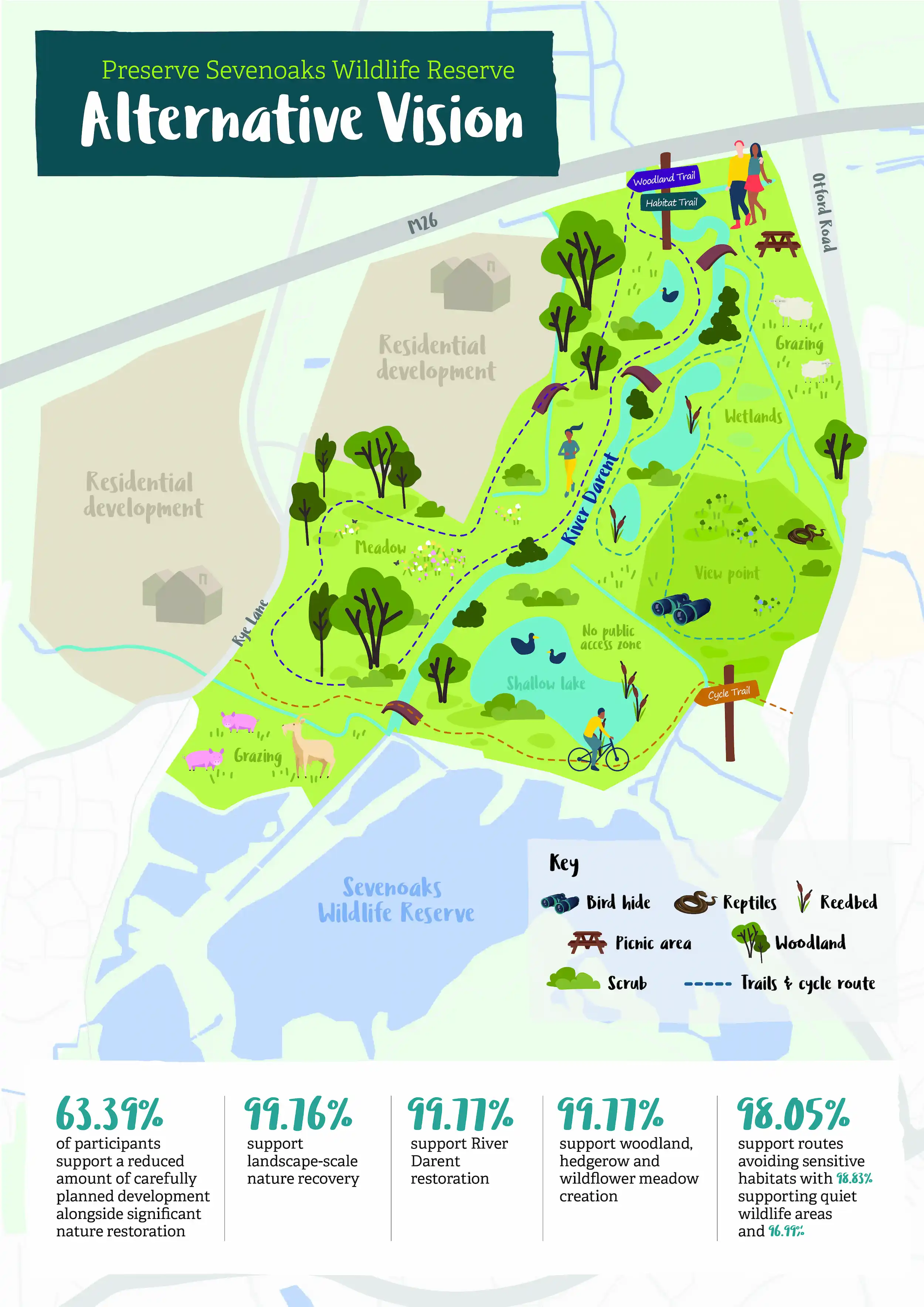
Local Plans guide where new homes, employment and infrastructure are built across the district over the coming years. Sevenoaks District Council's recently published Local Plan Regulation 19 proposes allocating land immediately north to Sevenoaks Wildlife Reserve for major housing development. The proposed allocated site, referred to as Land North of Sevenoaks, West of Otford Road (site reference ST4-7), would deliver 1,500 new homes, provision for 12 gypsy and traveller pitches and accommodate a new local community and leisure centre and associated infrastructure.
Whilst we recognise the need for new housing, we do not believe development should come at the expense of nature. We strongly advocate for the right development in the right place.
Our main concerns:
Threat to Sevenoaks Wildlife Reserve
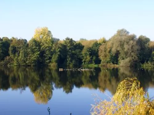
Sevenoaks Wildlife Reserve is a vital habitat for wildlife. At its heart lies the Sevenoaks Gravel Pit Site of Special Scientific Interest (SSSI), a nationally significant site supporting over 2,000 species, including protected and red-listed birds, alongside rich botanical and invertebrate life. The River Darent, a rare and vulnerable chalk stream, flows through the reserve, making it a place of exceptional ecological value.
The area of land north of the reserve is the last substantial area of open countryside connecting the reserve to the wider landscape. Kent Wildlife Trust is concerned that large-scale development on this land would significantly reduce this connectivity, leaving the reserve enclosed by development and isolated from the surrounding countryside. Protecting and strengthening these connections is vital to creating a resilient landscape where wildlife can thrive for future generations.
Impacts on the River Darent
The River Darent, one of Kent’s rare and environmentally important chalk streams, runs through the proposed allocated sites. Chalk streams are one of the world's rarest freshwater habitats, with around 85% found in England, most of them in the south-east. They support an exceptional diversity of wildlife and are often described as England's equivalent of tropical rainforests because of their global importance and rarity.
Significant parts of the proposed allocated site lie within both Flood Zone 3a, which refers to land with a high probability of annual flooding and Flood Zone 3b, which is land that is considered a functional floodplain, where water naturally flows and is stored during times of flooding.
Large-scale development could increase polluted runoff, sediment and contaminants entering the River Darent, damaging water quality and the wildlife that depends on this important chalk stream. Development within and alongside the floodplain could also reduce the landscape's ability to naturally store and slow floodwater, increasing flood risk downstream and placing additional pressures on wildlife and communities.
Increased pressure on wildlife
Sevenoaks Wildlife Reserve is enjoyed by thousands of people every year, and we firmly believe everyone should have the opportunity to access nature.
However, the current concept masterplan for the proposed allocated sites includes new access into the reserve from the north, directly linking it to a development of 1,500 homes. This could bring over 5,000 additional residents within easy walking distance to the reserve, significantly increasing recreational pressure on sensitive habitats.
At present, visitors enter through the Visitor Centre, where Kent Wildlife Trust can provide information and help manage activities that could harm wildlife, such as dog walking and cycling, which are not permitted. A new, unmanaged entrance would make this much more difficult and could increase disturbance to wildlife, littering and anti-social behaviour.