Introduction
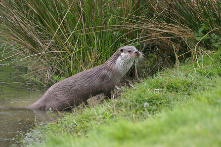
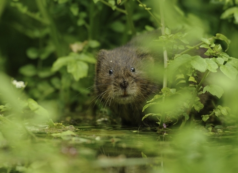
Water Vole and Otter Search is a citizen science survey run by Kent Wildlife Trust, which launched in 2023. The survey involves citizen scientists establishing survey transects next to streams, rivers and lakes across Kent, which they walk and record signs of water vole and otter activity. This data is invaluable in determining the distribution and abundance of Water Vole and Otter populations across the county. Data is collected using an app called Mergin Maps, a platform also used for our Riversearch and Beaver citizen science surveys.
Step 1
Get in touch via email at volunteering@kentwildlife.org.uk and we'll send you an invitation to join the app.
Step 2
Download the project in the Mergin Maps app on your mobile.
Step 3
Open the project and select a base map. Then plan your transect survey by tapping Record, selecting the Transect layer, and then plotting out your route using the Add button. When you’re finished, tap Done.
Step 4
Fill out the form, giving the transect a name, creation date, and route type. The length of the transect in meters is shown at the bottom.
Step 5
When you arrive at the start of your transect, tap the transect, tap the pencil edit icon, and log your survey in the ‘Log your survey here’ section of the form. This includes a survey start time, weather conditions and space for any miscellaneous notes about your survey visit. Also confirm you have permission form the landowner if accessing private land.
Step 6
Walk your transect at a leisurely pace, looking out for any signs of water vole or otter.
Step 7
When you spot a water vole or otter sign, tap Record, select the Observation layer, and position the point at the location of the observation. You may need to zoom in and use the satellite imagery to orientate yourself and position the point as accurately as possible. If you are close to the observation you can simply tap GPS and the target will move to your location.
Step 8
When the target is located accurately, tap Add, then complete the form that appears. First select the species, then select the sign(s) you have observed. Record the date and time, and then tap save.
Step 9
Try to record at least one habitat point per survey, at different locations along the transect. To do this tap Record, select the Habitat point layer, then add the point and complete the form. If you’re not sure, select null or leave it blank.
Step 10
When you finish walking the transect, tap the transect, then the edit pencil icon, then your survey log, then fill in the survey end time and type in any additional notes.
Step 11
Give yourself a pat on the back for being an excellent citizen scientist and contributing valuable data on Kent’s biodiversity.

© Wildstock
Resources
We are currently building a set of resources, including a training video, to help you with identification of Water Vole and Otter signs, and in-person training sessions will be available in spring next year. In the meantime, some images of the types of signs you may see are available in this presentation.
